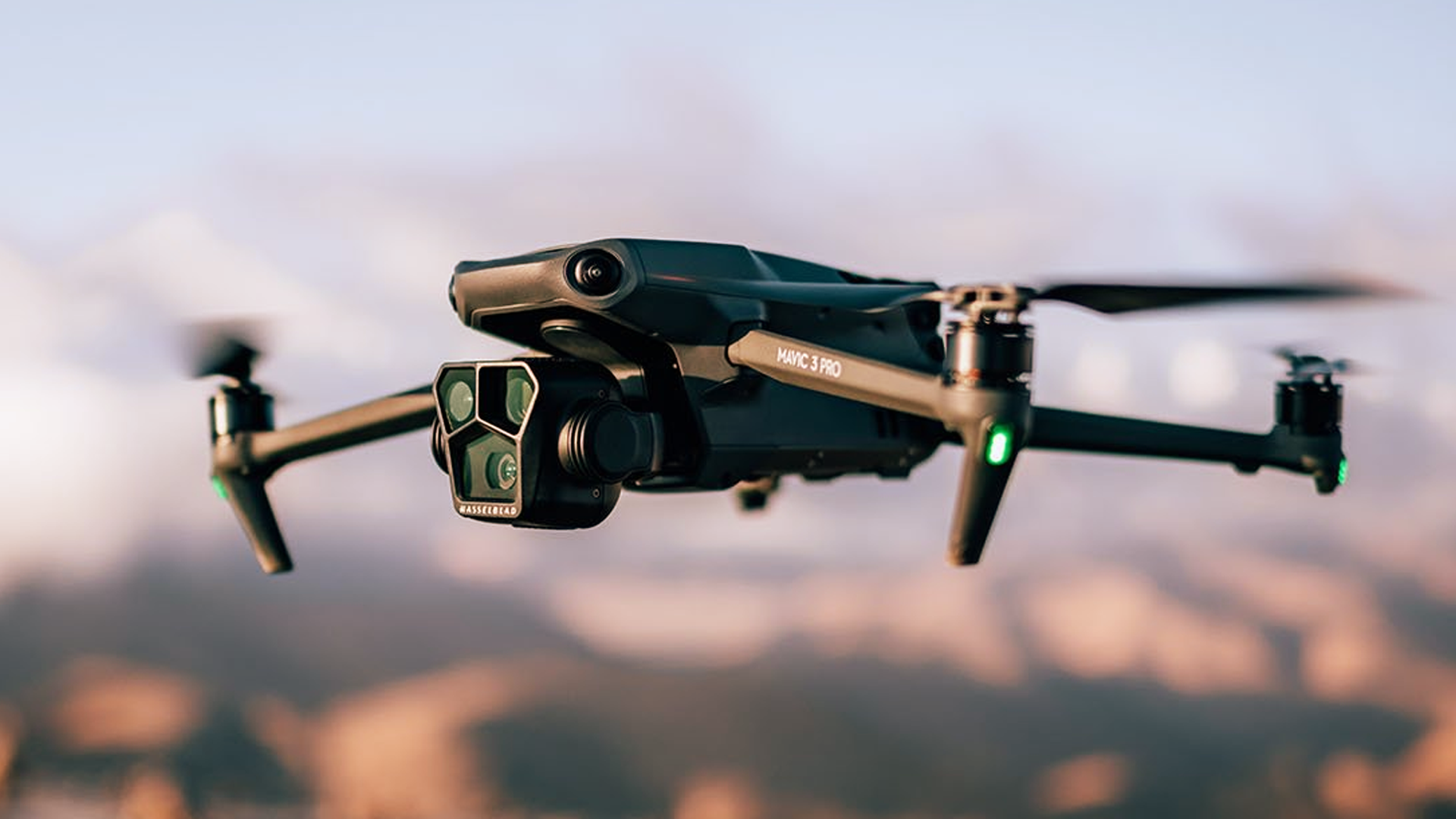
Photogrammetry Aerial Mapping
By gathering multiple photos from different angles in the air, we are able to recreate your project in 3D and gather accurate data to inform your future planning.
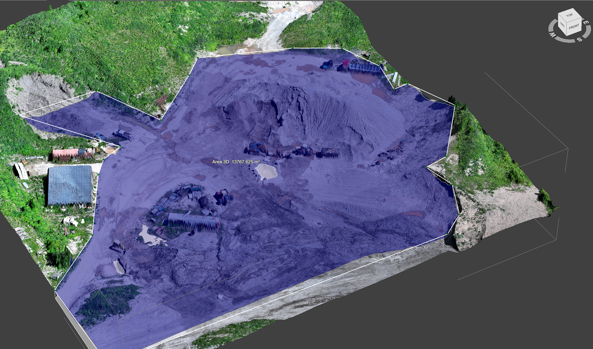
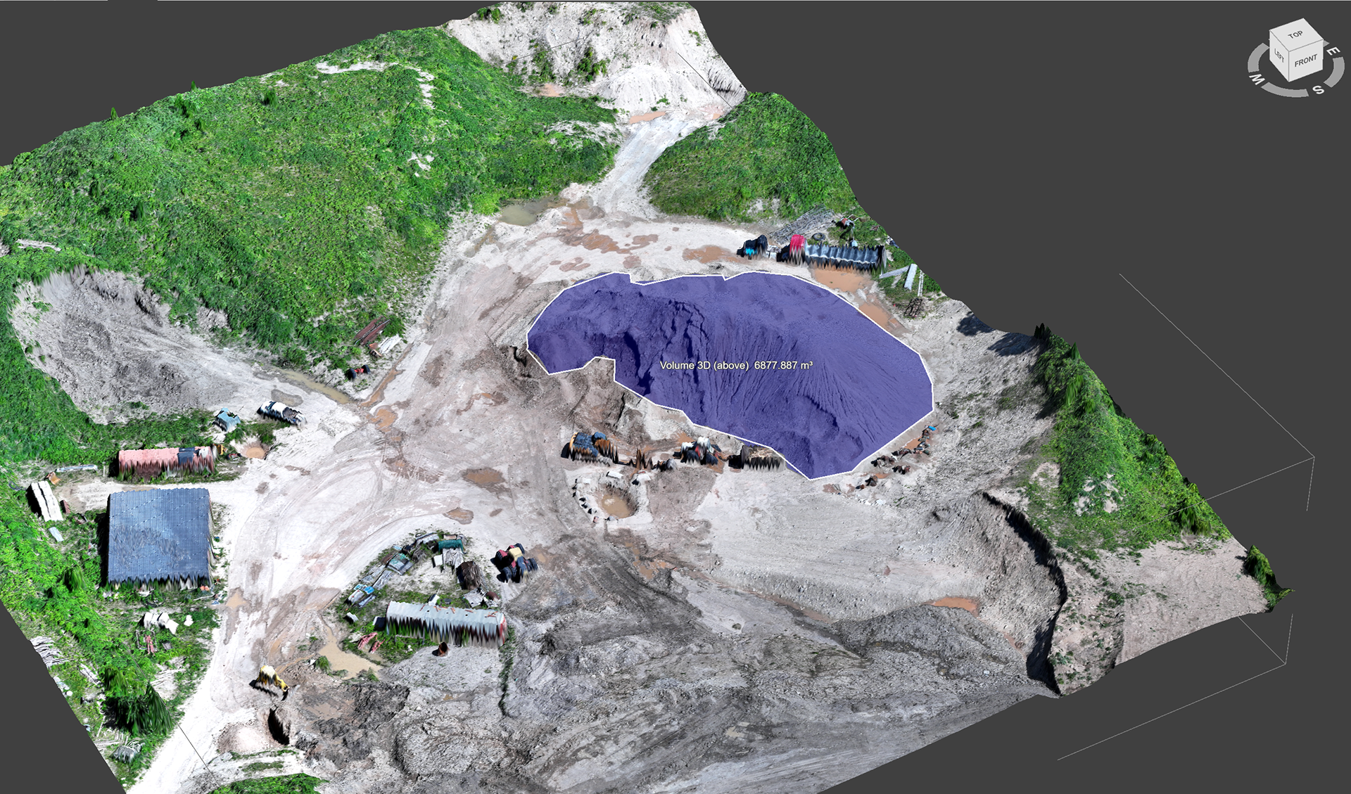
Stockpile Volumetrics
Using photogrammetry and precise point cloud editing, we take accurate measurements of stockpile to give you the measurements you need to ensure the job gets done.
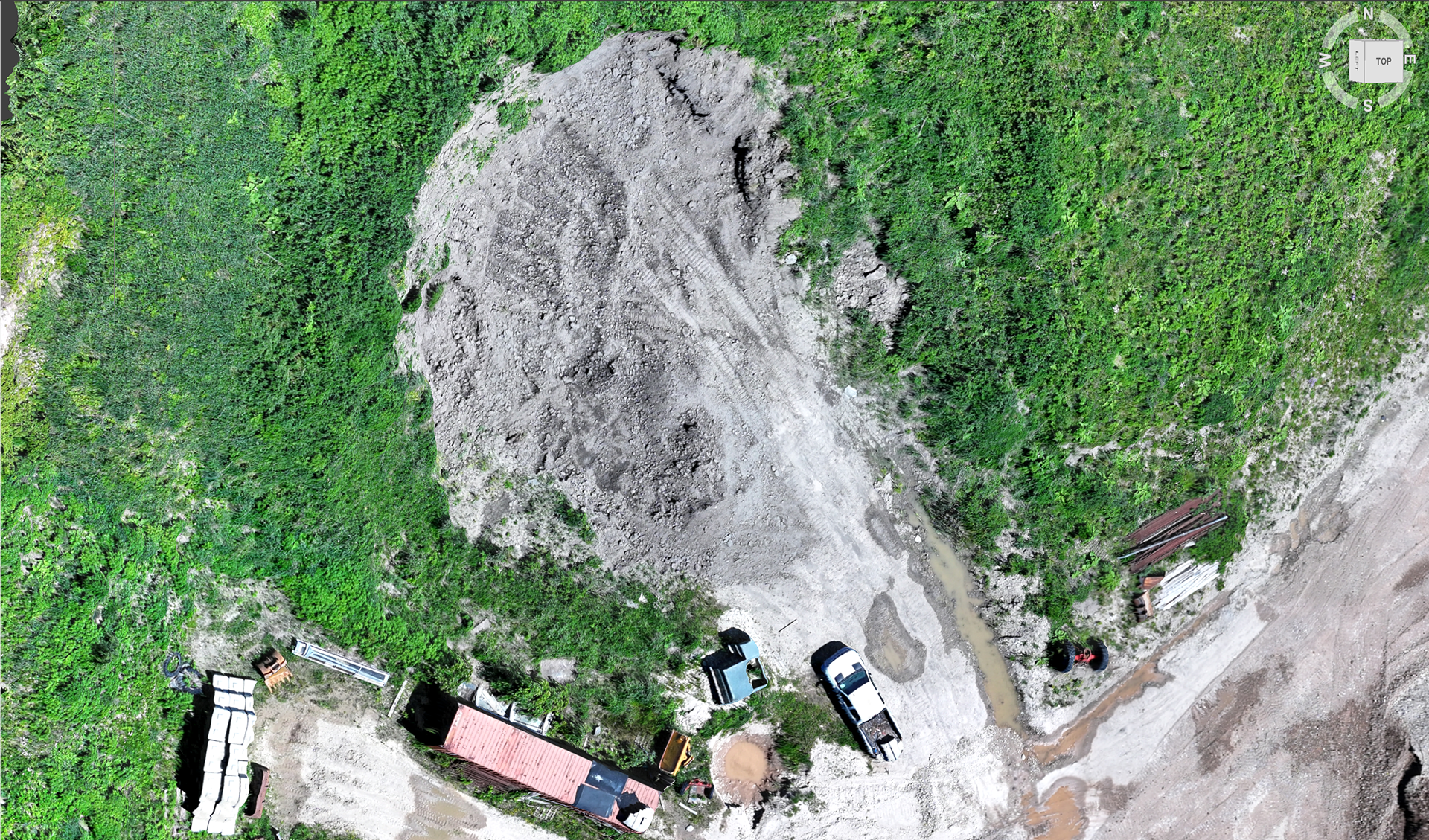
Othromosaics
Using photogrammetry and point cloud manipulation we create highly detailed 3D meshes of topography and structures to help out clients see the important details that will make a world of difference.
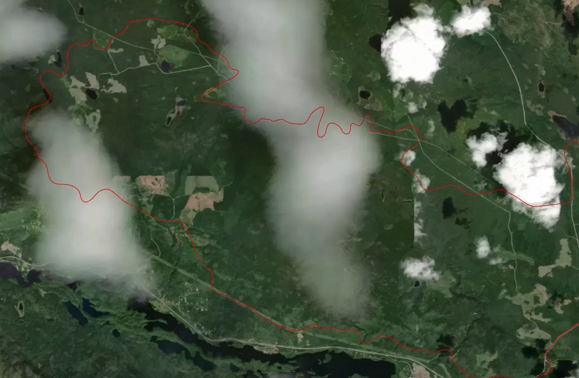
Fire Perimeter Mapping
Using photogrammetry and Nova (a Canadian software designed for wildfire management) we can run missions to accurately track fire perimeters to provide both clients and Emergency Services up-to-date details to help manage the event as well as safeguard what matters most.
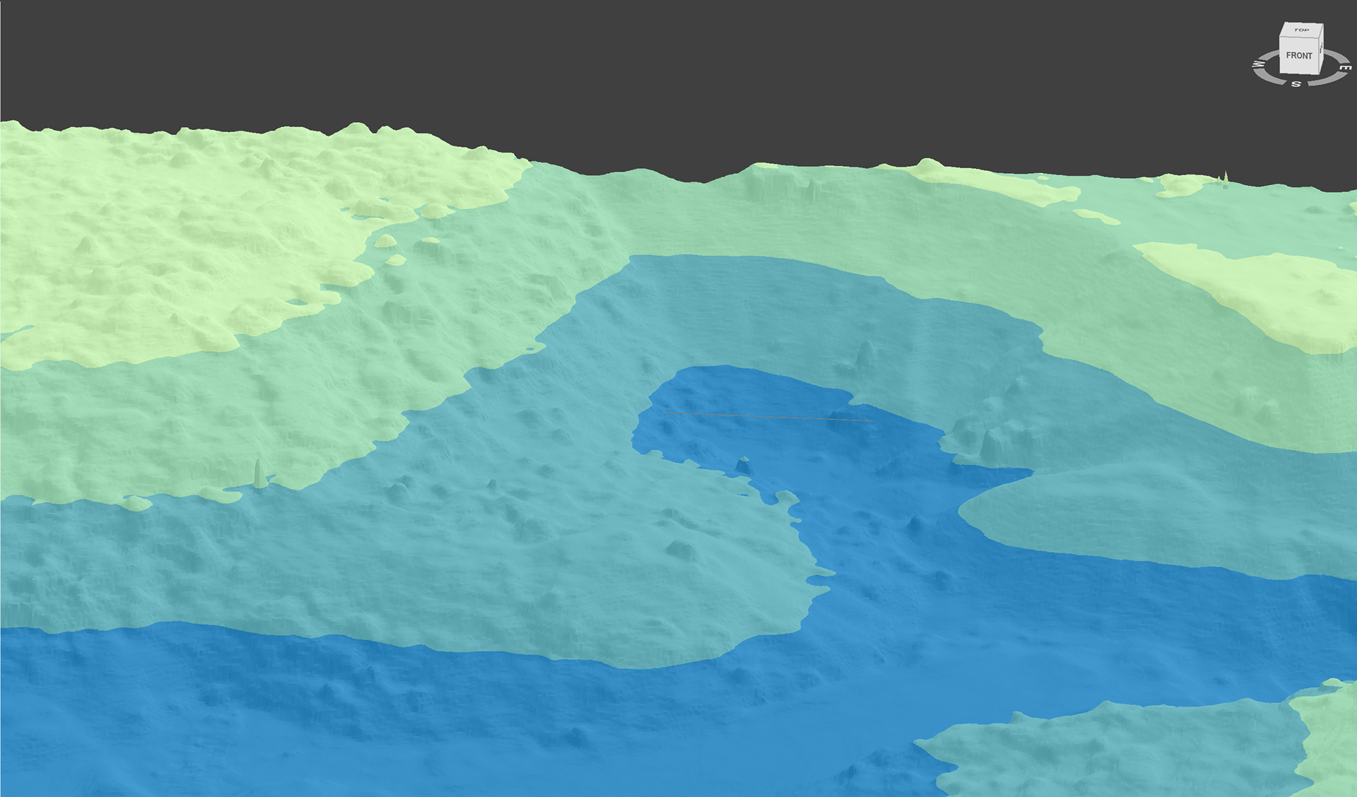
Flood Zone Mapping
Taking photogrammetry data we can create a depth map that allows us to predict where flooding is likely to happen and advise clients on strategies to mitigate and undesirable situations.